GEOGRAPHY & ARCHAEOLOGY
MAPS OF KAGERA
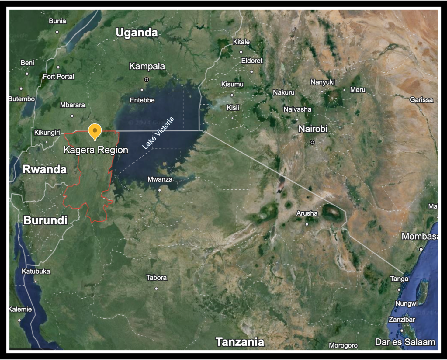
Kagera Region
Source: Google Earth satellite image
A collection of Historic Maps
will be displayed here soon
IMPORTANT ARCHAEOLOGICAL SITES
Stone Age Site: Nyabusora
Nyabusora is a significant Early to Middle Stone Age (ESA/MSA) archaeological located on the Kagera River near Nsongezi. It is noted for producing both stone tools and fossil fauna, often categorised as Acheulean and Sangoan, typically dating to the Middle Pleistocene.
Excavations at the Stone Age Site of Nyabusora in the western Lake Victoria-Nyanza Basin
Author: Laura Sophie Basell, Merrick Posnansky, Cambridge University Press Dec 18, 2025

Iron Age Site: Kataruka
Early ironworking (smelting and forging) was established by 500 BC in many parts of the world, but Kataruka in Kagera is recognised worldwide as being associated with the earliest iron smelting technologies.

AI generated image depicts iron age smelting in Kagera, based on historic records - for understanding only.
The one-shaped shaft-bowl furnaces were constructed from mud and refractory slag and drum bellows covered with goatskin were used to pump air into the fire.